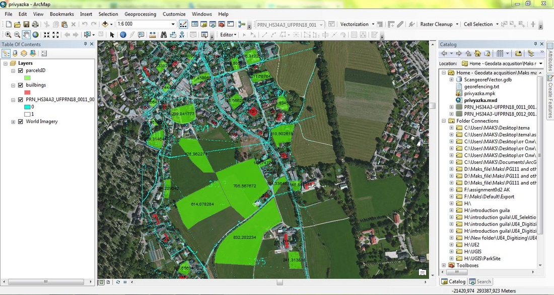
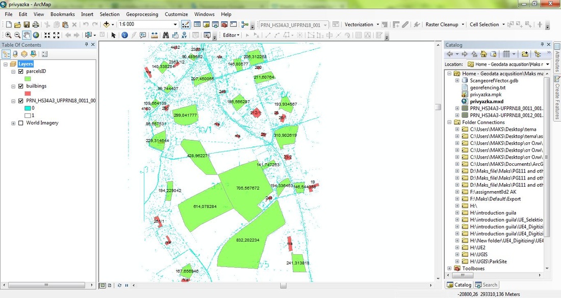
Scanning - Georeferencing - Vectorization
Geocoding can be useful in many different scenarios, examples include:
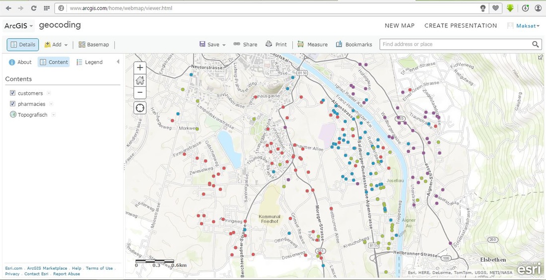
Many businesses have non-spatial records of customers which can be geocoded using the customer’s postal code or street address. Often stores have address data on customers who use the store’s affinity cards or credit cards, or they can just ask customers who visit the store for a postal code – how often have you been asked for yours?
Retail chains can geocode store locations in order to do spatial analysis of the relationship between their store locations and customers. Chains can also model scenarios of expansion using geocoded store sites.
Records of crime locations can be geocoded to identify crime “hot spots”; similarly residence locations of criminals can be geocoded.
Emergency services can quickly identify the address locations of emergencies and dispatch services efficiently.